


New Delhi: The India Meteorological Department (IMD) on Thursday said that strong surface winds triggered by a high-pressure gradient over northwest India caused dust to spread across Punjab, Haryana, Delhi, and north Rajasthan.
Under the influence of these strong surface winds, dust was advected from West Rajasthan to Delhi NCR, moving across north Rajasthan, south Punjab, and south Haryana.
According to the IMD, the majority of regions are likely to experience dry weather.
“In Northwest India, we are not expecting any western disturbances… so the majority regions are likely to experience dry weather… heatwave is expected for the next 5 days in West Rajasthan, we have issued a yellow alert there. We are expecting a heatwave in East Uttar Pradesh for a few days, we have issued an orange alert… in Delhi-NCR, the temperature will be above normal and on 16- 17th May, there is a possibility of light rain and strong winds,” as per IMD.
Meanwhile, the IMD Jaipur Centre had already predicted a dust storm over Rajasthan for May 14 in its bulletin issued on the previous day.
Earlier in the day, the India Meteorological Department (IMD) also said that dust advected from North Pakistan is moving towards Delhi-NCR via Punjab and Haryana.
According to the IMD, the movement occurs under strong lower-level westerly winds prevailing over Punjab and Haryana.
The IMD department further informed that the dust has been gradually shifting eastward, improving visibility over the Palam area of Delhi, which is currently reporting visibility at 4000 meters.
Visibility conditions above 1000 meters are not considered a significant dust storm or dust event, as per IMD.
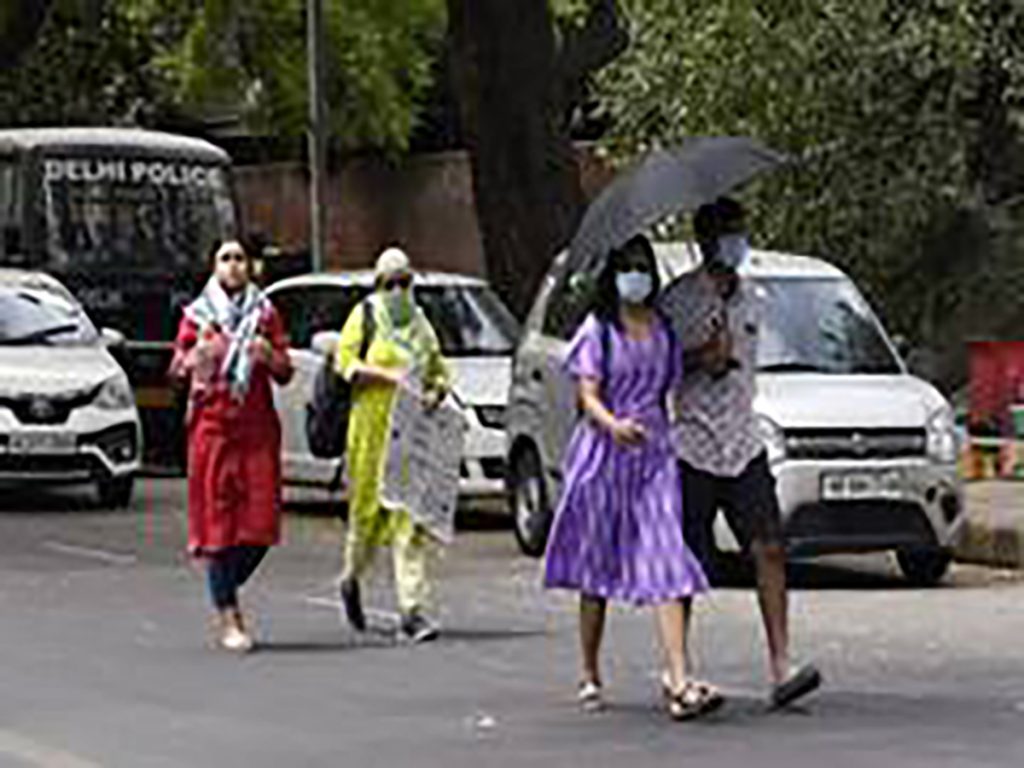
Meanwhile, Delhi is bearing the heat, with average temperatures in the high 30s Celsius. The pollution levels have also begun to climb. The CPCB recorded a high AQI of 350 on Thursday from Punjabi Bagh.