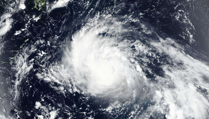
Tokyo: Typhoon Shanshan could make landfall in Japan most likely on Wednesday, Japan’s weather agency warned on Monday, urging residents, particularly those along the Pacific coast, to prepare for strong winds, high waves, and heavy rainfall.
The tenth typhoon of the year, now a powerful storm, is currently moving over the ocean near the Japanese island of Amami Oshima and could escalate into a “very powerful” storm later this week, according to the Japan Meteorological Agency (JMA). The approaching typhoon is expected to bring extremely strong winds across Japan, as the maximum sustained winds could reach 60 metres per second in Kyushu and Amami, while waves as high as 9 metres are anticipated in Kyushu, Shikoku, and Amami.
Citing heavy rainfall as a major concern, the JMA forecast up to 300 to 400 millimetres of rain over the next 24 hours in some areas in Japan by Thursday, an amount of rainfall that could lead to record-breaking floods and landslides. A JMA spokesperson on Monday warned that if the typhoon slows down, rainfall amounts could increase further, emphasising the need for continued vigilance, Xinhua news agency reported.
Calling for strict precautions against landslides, flooding in low-lying areas, and the swelling and overflow of rivers, the agency is particularly concerned about the widespread impact from western to eastern Japan as it advised residents to stay prepared. The Central Japan Railway Company, one of the country’s major railway operators, has announced potential service suspensions from Thursday to Saturday due to the typhoon. Travellers are urged to stay informed about weather updates and train operations, as unexpected changes in weather could lead to prolonged service interruptions.
