- विज्ञापन -
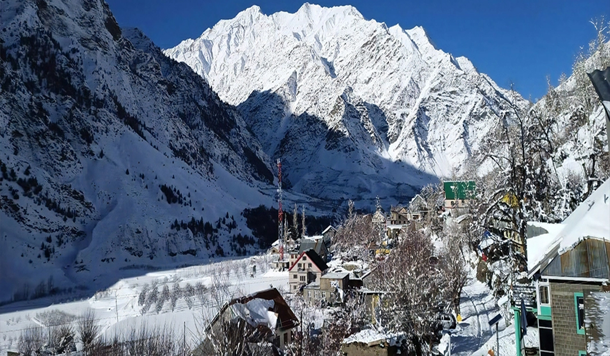
Shimla: Western Disturbance (WD) will be active in Himachal Pradesh from tomorrow. It is forecast to cause light rain and snowfall in the higher altitude areas of the state for the next 5 days. The weather will remain clear in the medium altitude and lower areas during this period.
According to the weather department, today the sun will shine throughout the state. After WD becomes active, rain and snowfall is expected in high altitude areas from 8 to 12 February. On 10 February, rain and snowfall may also occur in medium altitude areas.
Cold wave alert in 3 districts
On the other hand, a yellow alert has been issued for dense fog in Una, Bilaspur and Mandi districts today. Fog will prevail in many places in these districts from morning to afternoon. Due to this, visibility will be less than 50 meters. In view of this, drivers have been advised to be cautious.
72% less rain than normal in winter season
The state has received 72 percent less rainfall than normal during the winter season. The normal rainfall between January 1 and February 6 is 100.4 mm. But this time, only 28.5 mm of rain has fallen.
Kalpa’s temperature increased by 5.7 degrees in 24 hours
After the rain and snowfall, the temperature has risen in the last 24 hours. The average maximum temperature of the state has increased by 2 degrees in the last 24 hours, which is 0.6 degrees more than normal. Kalpa’s temperature has risen the most by 5.7 degrees and the maximum temperature here has become 8.2 degrees.
The maximum temperature of Manali also recorded a rise of 5.5 degrees due to one day of sunshine and the temperature of Manali has reached 10.2 degrees.