Last Updated: October 16, 2026
Last Updated: October 16, 2026





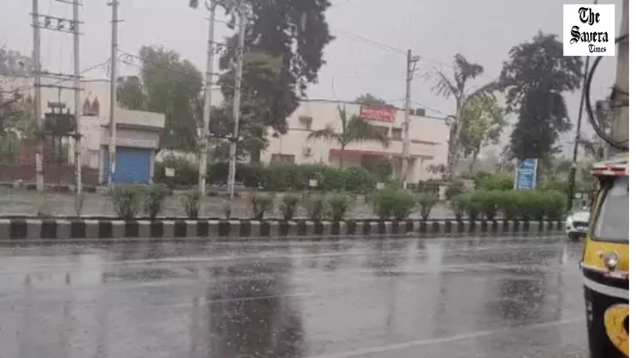
The weather in Haryana has once again taken a turn. According to the Meteorological Department, light to moderate rainfall is expected at various places in Panchkula, Yamunanagar, Mewat, and Palwal districts. The highest maximum temperature in the state was recorded in Rohtak at 40.8 degrees Celsius. A slight increase in temperature was observed in other districts as well, but so far, no heatwave or severe weather warning has been issued.
The department has clarified that today, Friday, the entire state is in a ‘no warning’ situation. Meanwhile, the average maximum temperature of the state rose by 1 degree Celsius on Thursday compared to Wednesday, while it had decreased by 1.2 degrees on Wednesday. However, despite the rise in temperature, it still remains close to normal. This has provided people some relief from the intense heat for the time being.
Western Disturbance Active from Tomorrow
The Meteorological Department says that a western disturbance will become active again from Saturday, May 2. It will remain active until May 3, due to which changes in the weather will be seen again from Saturday. This will give people relief from the intense heat for a few days.
Advice to Farmers and the General Public
Weather experts say that due to the influence of western disturbances and local weather activities, fluctuations in temperature will be observed. Farmers and the general public have been advised to keep an eye on the latest weather updates so that necessary precautions can be taken according to the changing weather.
A former sarpanch allegedly shot his 26-year-old son, Murari, in Taloda village of Jind district amid a dispute...

An administrative team and police returned without taking possession of a house in Panipat after the homeowner allegedly...
Punjab AGTF and Haryana STF arrested Gurlal Singh in connection with Ajmeet Singh’s September 11 murder in Naushera...

Pinky Yadav, daughter of former Haryana BJP district president Dayaram Yadav, has been reverted from Junior Engineer to...

SFI leader Amit Pilana from Rohtak alleged that police used batons, dragged protesters and mistreated women during the...

Haryana Congress MPs, MLAs and senior leaders gather at Bhupinder Singh Hooda’s residence before the INDIA bloc’s march...
Aries: The day will be auspicious...