Last Updated: October 20, 2026
Last Updated: October 20, 2026





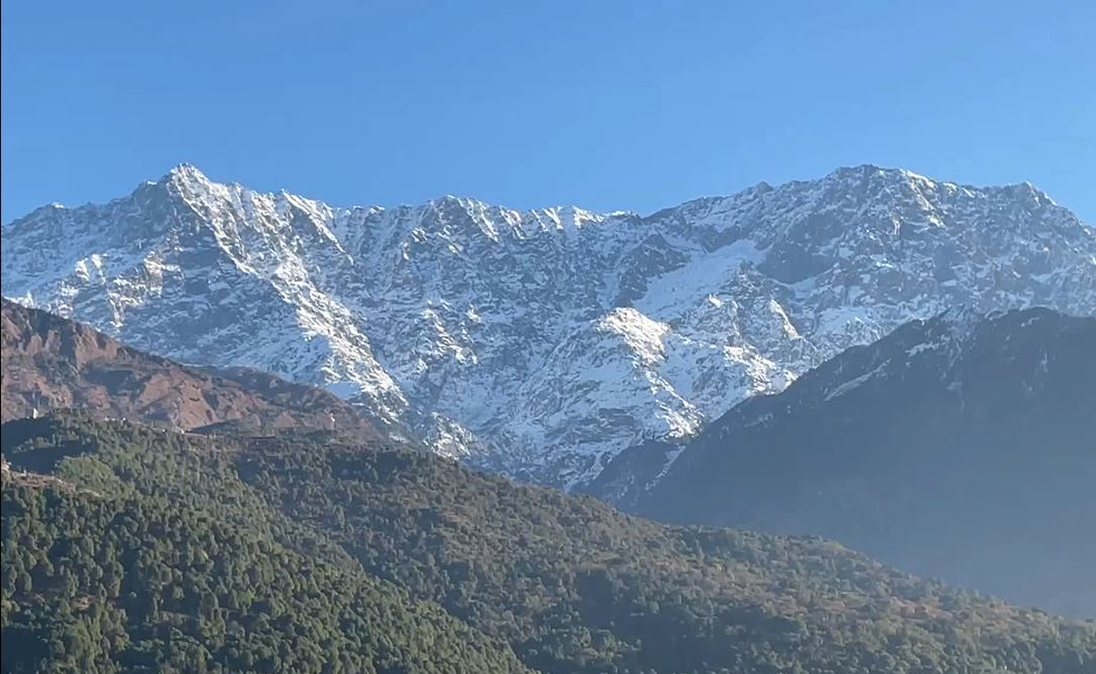
Himachal Pradesh experienced unusually cold night temperatures on Wednesday, with several plains recording readings lower than hill station Shimla. According to the Meteorological Department (IMD), cold winds from higher mountains combined with early-morning fog kept night lows suppressed across the plains.
Plains Colder Than Shimla Overnight
Despite Shimla’s minimum temperature being 7.6°C, many lower-lying areas registered even lower readings:
Solan: 4.3°C
Barthi: 4.7°C
Dharamshala: 5.2°C
Sundernagar: 5.1°C
Bhuntar: 3.5°C
Una: 7.2°C
Kangra: 6.2°C
Mandi: 6.2°C
Bilaspur: 7.0°C
These cooler nights were attributed to cold winds funneling down from the high mountains. Meanwhile, high-altitude Lahaul-Spiti saw extreme lows, with Kukumsari at –8.3°C and Tabo at –8.8°C.
Maximum Temperatures Well Above Normal
Bright sunshine over the past 4–5 days has caused daytime temperatures to climb well above seasonal averages. The state average maximum temperature is now 4.7°C above normal, with notable spikes including:
Kangra: 24.7°C (↑5.8°C above normal)
Sundernagar: 25.1°C (↑5.7°C above normal)
Bhuntar: 23.3°C (↑5.4°C above normal)
Shimla: 17.6°C (↑4.9°C above normal)
This combination of cool nights and warm days is typical of stable, dry weather under clear skies.
No Significant Rain or Snow for the Next Week
Himachal Pradesh has so far received about 16% less rainfall than normal this winter season. From January 1 to February 11, the state recorded 101.8 mm of precipitation, compared to the expected 119.9 mm.
The IMD forecasts dry conditions for at least the next 4–5 days, with no major rain or snowfall expected until mid-February.
Weak Western Disturbance Expected from February 16
A Western Disturbance (WD) — an upper-air weather system that can bring precipitation to the Himalayas — is expected to become active around February 16. However, the IMD says this WD will be weak, likely affecting only higher altitudes, without significant impact on plains weather.
Weather Outlook
Feb 12–15: Clear skies; cold nights and warm days
From Feb 16: Weak WD influence mainly in high mountains; minor impact expected
Rain/Snow: Unlikely in lower and middle hills for at least 7 days
Shimla: The Himachal Pradesh government has constituted a four-member commission to examine the reorganisation of administrative units in...
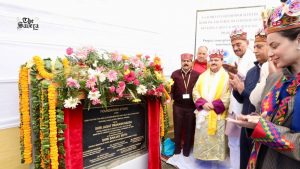
Keylong, Himachal Pradesh: Union Health Minister JP Nadda on Monday laid the foundation stone for the Indian Council...
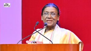
President Droupadi Murmu is on a three-day Himachal Pradesh visit from October 6 to 8, including the first...
Shimla Municipal Corporation has launched a 10-day mass anti-rabies vaccination drive across 34 wards, targeting more than 4,000...

A fresh spell of snowfall has transformed the higher reaches of Manali into a picturesque winter landscape, with...
A major landslide occurred in the Chirgaon area of Shimla district, Himachal Pradesh, on Monday morning.
Aries: The day will be auspicious...