Last Updated: October 20, 2026
Last Updated: October 20, 2026





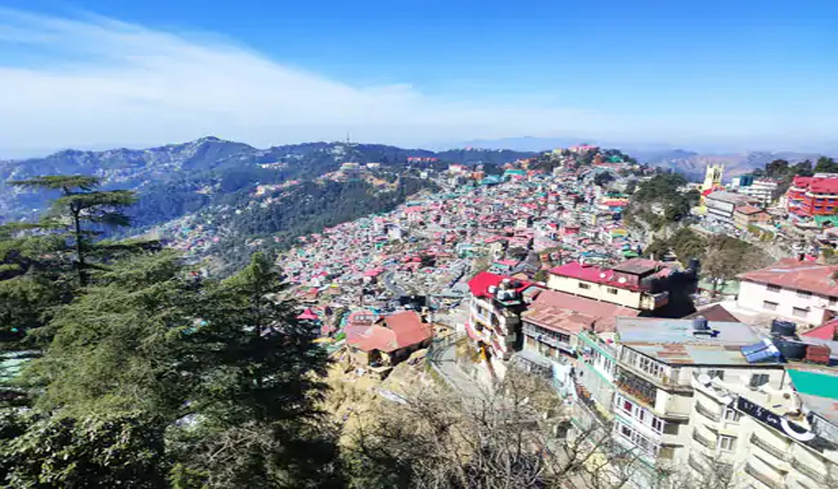
Shimla: A Western Disturbance will become active in Himachal Pradesh starting tomorrow. This is expected to bring snowfall in the higher mountains and light drizzle in the mid-altitude areas for the next five days. The weather will remain clear in the lower regions of the state.
According to the Meteorological Department (IMD), heavy snowfall is likely in the higher reaches of Chamba, Kinnaur and Lahaul Spiti, while light snowfall is forecast in the higher reaches of Kangra, Kullu and Mandi districts.
The International Monetary Fund (IMD) has issued a cold wave warning for Una and Hamirpur today. A fog alert has been issued for Kangra, Mandi, Bilaspur, Solan, and Sirmaur districts. Visibility may drop to 100 meters by 10 a.m. Drivers are advised to drive cautiously.
The cold will increase from tomorrow
According to the Meteorological Department, the cold will intensify starting tomorrow, as the weather changes. Temperatures in 13 cities across the state have dropped to 2 degrees Celsius or below. Temperatures in 20 locations are 4 degrees Celsius or below. Fog and cold waves are causing severe cold, especially in the plains.
Mercury near freezing point in these cities
Due to this, the temperature of Sundernagar in Mandi has reached near the freezing point with 0.6, Bhuntar 0.9, Kalpa 0.2, Solan 0.5, Seobagh 0.8, Barthi 0.7 degrees, while it has dropped to minus -5.1 degrees in Tabo of Lahaul Spiti and minus -4.9 degrees in Kukumsari.
The state has not seen any rain for more than three months. This has led to drought-like conditions. Farmers and gardeners, as well as those involved in the tourism industry, are eagerly awaiting rain and snowfall.
Shimla: The Himachal Pradesh government has constituted a four-member commission to examine the reorganisation of administrative units in...
Keylong, Himachal Pradesh: Union Health Minister JP Nadda on Monday laid the foundation stone for the Indian Council...
President Droupadi Murmu is on a three-day Himachal Pradesh visit from October 6 to 8, including the first...

Shimla Municipal Corporation has launched a 10-day mass anti-rabies vaccination drive across 34 wards, targeting more than 4,000...

A fresh spell of snowfall has transformed the higher reaches of Manali into a picturesque winter landscape, with...
A major landslide occurred in the Chirgaon area of Shimla district, Himachal Pradesh, on Monday morning.
Aries: The day will be auspicious...