


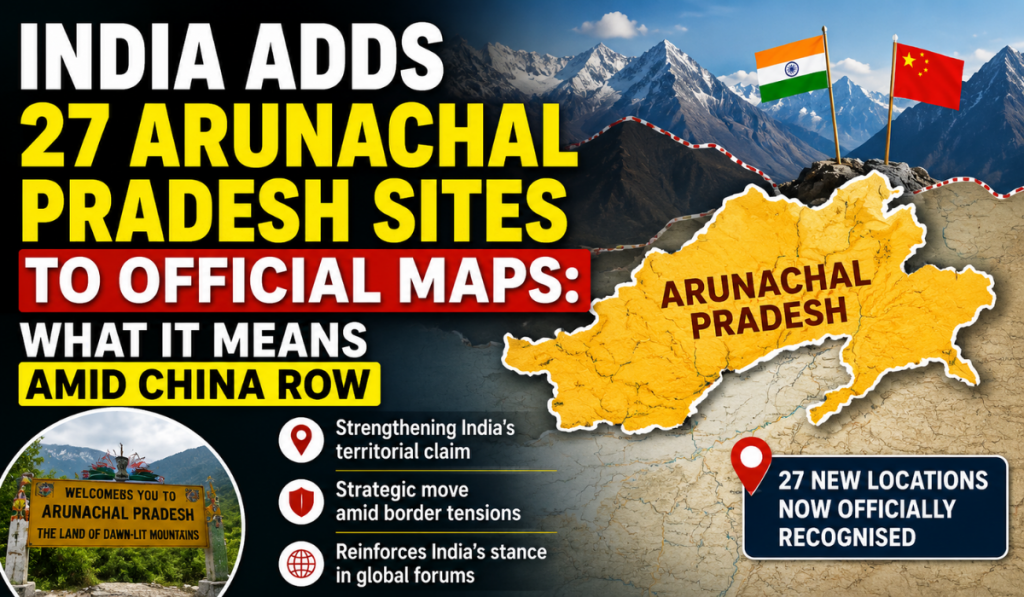
A name on a map may look like a small detail. But when that map is connected to a long-running border dispute, even a name can carry political meaning.
India has now officially recorded 27 locations and geographical features in Arunachal Pradesh on an updated Survey of India map. The list includes four mountain passes and a high-altitude lake, along with other geographical features and locations.
These are not 27 newly created places, and India has not suddenly gained 27 new territories. These are existing locations whose standard Indian names have now been formally shown on India’s official map.
The move comes after years of China assigning its own names to places in Arunachal Pradesh.
So, what exactly has India done, why does China claim Arunachal Pradesh, and why have place names become part of this larger border dispute?
What Has India Actually Done?
The Survey of India, India’s national mapping agency, has added the standard names of 27 locations and geographical features to its official mapping record.
The locations include Longju, Maja, Bisa, Dzo La, Riza La, Pukur La, Thag La, Sambho Sarovar, Jairampur, Jaswant Garh, Sher-e-Thapa Memorial, Sunpura and Kamlang Nagar, among others.
The key point is simple: India is not creating these locations. It is officially recording their names on its maps.
Some of these places are also linked to India’s border history. Longju was the site of a confrontation between Indian and Chinese forces in 1959, while Thag La is associated with the 1962 India-China war.
Why Is Arunachal Pradesh Disputed?
India administers Arunachal Pradesh as an Indian state. China, however, claims around 90,000 square kilometres of territory in the state and refers to the region as “Zangnan” or “South Tibet.” India completely rejects this claim.
The dispute is part of the larger, unresolved India-China boundary issue.
One important term here is the McMahon Line. It was drawn during the 1914 Simla Convention and forms the basis of India’s boundary claim in the eastern sector. China does not accept the McMahon Line.
This disagreement became one of the major issues behind the 1962 India-China war.
What Is The LAC?
You may also hear about the Line of Actual Control, or LAC.
The LAC is the line separating areas controlled by India and China on the ground.
But India and China do not have a common understanding of the entire LAC. Differences over where the line lies have led to face-offs between the two sides.
That is why border locations, patrol routes and geographical features are highly sensitive.
The final international boundary between India and China has still not been settled.
Why Do Place Names Matter?
Maps are not only used for navigation. Official maps are used by governments, institutions, researchers and the public.
When a government officially records a place name, that name becomes part of its geographical records and official narrative.
China has repeatedly tried to assign Chinese names to places in Arunachal Pradesh. India has rejected those names and continued to use its own official names.
But there is an important distinction:
A name on a map does not, by itself, establish legal sovereignty over a territory.
Changing the name of a mountain, village or river does not automatically transfer that territory to another country.
The importance is mainly political and administrative — it reflects how each country officially describes the disputed region.
China’s Renaming Exercise: A Timeline
China’s naming exercise began in 2017, when it announced names for six locations in Arunachal Pradesh.
- In 2021, it announced names for another 15 locations, followed by 11 in 2023.
- In 2024, China announced another list covering 30 places.
- Then, in 2025, China announced Chinese names for another 27 locations and geographical features, including mountains, passes, rivers, a lake and inhabited areas. (Hindustan Times)
This makes India’s latest map update part of a much longer back-and-forth over geographical names.
How Has India Responded?
India has consistently rejected China’s renaming attempts.
In 2023, the Ministry of External Affairs said that assigning “invented names” would not change the reality that Arunachal Pradesh is an integral and inalienable part of India.
India repeated this position after China’s 2024 and 2025 naming exercises, rejecting Beijing’s attempts to rename locations in the state.
What Does India’s Latest Move Mean?
India’s latest action should therefore be seen in the larger India-China border dispute.
It has not created 27 new territories. It has officially recorded 27 existing locations and geographical features using their standard Indian names.
The move reinforces India’s own geographical and administrative record at a time when China continues to make territorial claims and use its own names for parts of Arunachal Pradesh.
But maps alone cannot settle the border dispute.
A final solution will require India and China to reach a mutually acceptable settlement of their boundary.
Until then, the map — and the names written on it — will remain another important part of the long-running India-China dispute.