New Delhi: India has backed a United Nations General Assembly resolution promoting equal-area world map projections, while making it clear that its support does not amount to endorsement of any particular map or depiction of national boundaries.
The resolution, titled “Correct the Map: Rebalancing Global Cartographic Representation and Promoting Equitable Representation of the World’s Regions, Particularly Africa,” was adopted by the UN General Assembly on September 4. India voted in favour of the resolution.
However, the Ministry of External Affairs (MEA) stressed that any representation of India’s territory must follow the country’s official map. It specifically flagged the depiction of Jammu and Kashmir and Ladakh, saying any inaccurate or misleading representation would be unacceptable.
India clarifies its vote
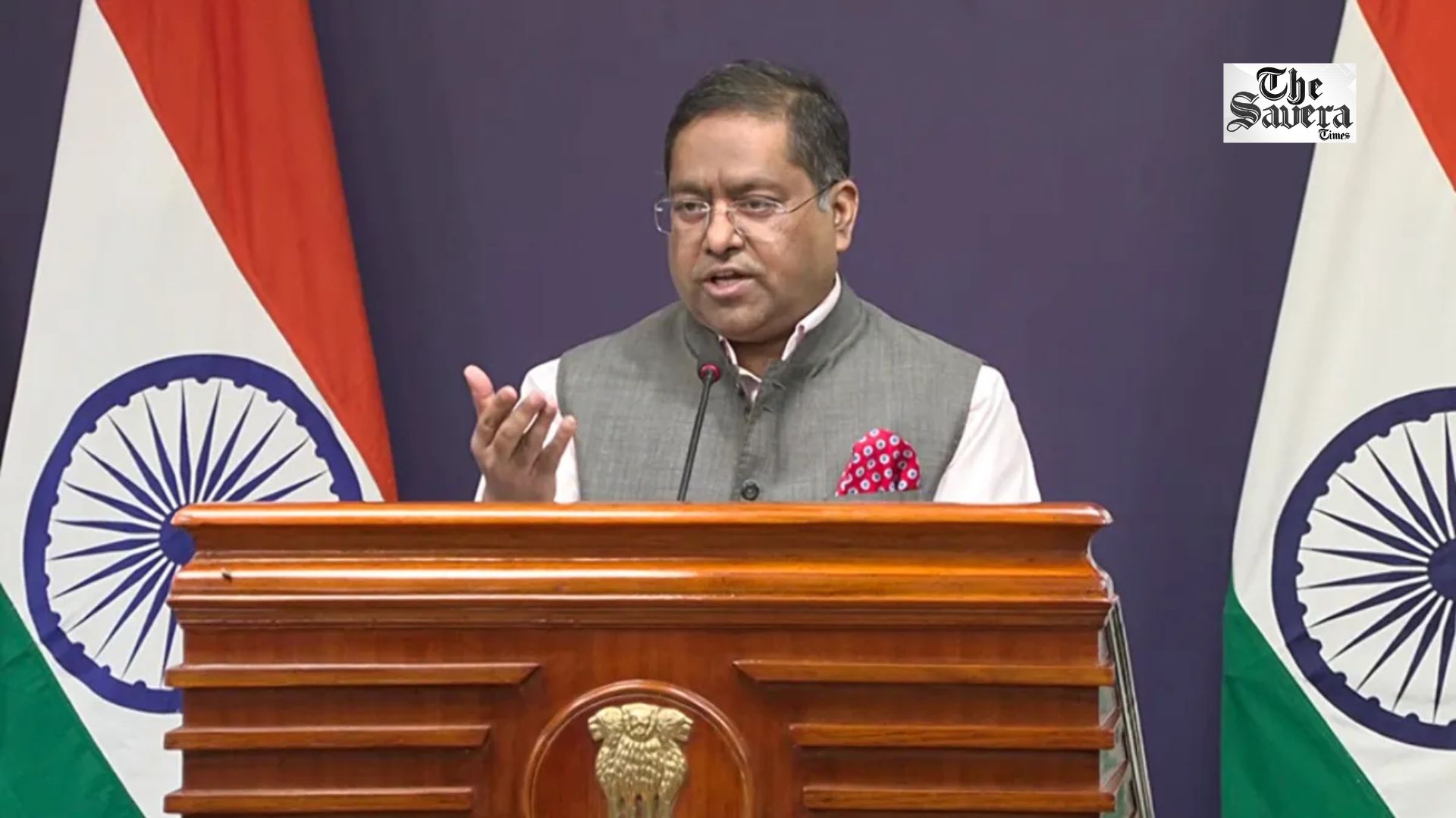
MEA spokesperson Randhir Jaiswal said India supported the resolution because of its underlying principle of promoting equal-area cartographic representation.
He clarified that the resolution does not adopt or authenticate any particular world map or map projection, nor does it address political cartography, including international boundaries.
The resolution seeks to encourage map projections that represent the relative sizes of continents and landmasses more accurately. It is particularly aimed at addressing distortions associated with traditional map projections.
J&K, Ladakh depiction must match India’s official map
While supporting the broader objective, India drew a clear line over the depiction of its territory.
The MEA said the Union Territories of Jammu and Kashmir and Ladakh must be shown in accordance with India’s official map. Any inaccurate or misleading depiction of the country’s territory would not be acceptable to New Delhi.
India’s clarification comes amid discussions over the proposed use of the Equal Earth projection, which is designed to provide a more accurate representation of the relative areas of the world’s landmasses.
What is the UN map resolution about?
The resolution focuses on improving the way the world’s continents and regions are represented on maps. The commonly used Mercator projection significantly distorts the apparent size of landmasses, particularly those located closer to the poles.
The UN resolution promotes the use of equal-area projections, which preserve the relative area of geographical regions more accurately. The measure was adopted with overwhelming support, with 164 countries voting in favour, six abstaining and the United States voting against.
The resolution is not legally binding and does not itself change international boundaries or India’s position on Jammu and Kashmir and Ladakh.