Last Updated: October 25, 2026
Last Updated: October 25, 2026





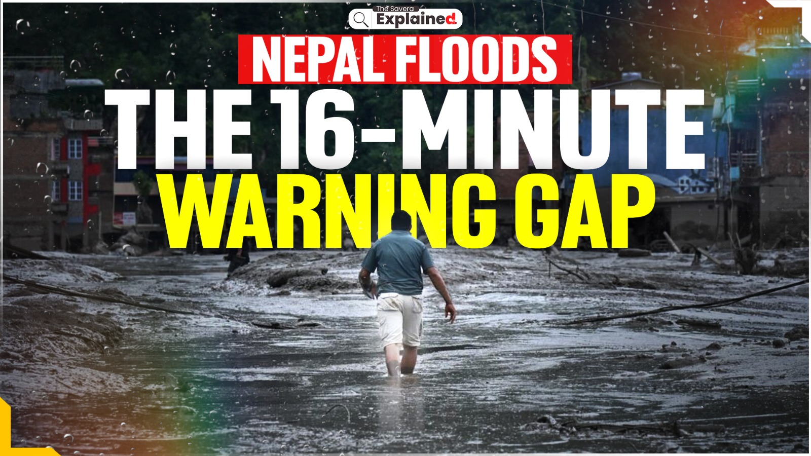
Nepal is facing one of its deadliest Himalayan disasters after a sudden flash flood tore through the Nepal-Tibet border region on August 26, killing more than 600 people and leaving thousands missing. The disaster swept through settlements, roads, bridges, hydropower projects and border infrastructure, while rescue teams continue to search for survivors in extremely difficult terrain.
According to the latest data, the Nepalese authorities had recovered 626 bodies, while 2,426 people remained unaccounted for, according to the National Disaster Risk Reduction and Management Authority. More than 15,000 security personnel have been deployed for rescue and recovery operations.
But what exactly triggered the disaster? And why has Nepal’s flood-warning system come under scrutiny?
What Triggered the Deadly Flood?
The disaster began in the high Himalayas near the Nepal-Tibet border. Satellite imagery and expert analysis indicate that a glacier collapse triggered an ice-rock avalanche and a massive debris flow, which then entered the river system.
The resulting torrent carried huge quantities of rock, ice, mud and debris downstream. The flood devastated Rasuwa district and neighbouring areas, sweeping away homes, bridges, roads, hydropower infrastructure and parts of the important border crossing at Gyirong.
The flood was exceptionally dangerous because it was not a conventional river flood that rises gradually. Water levels in parts of the river system rose dramatically within minutes, giving communities very little time to react.
Why Does China’s Tibet Matter?
However, China’s role in the disaster has been seen significant, the event occurred in the transboundary Himalayan region, with the upstream area lying on the Tibet side before the flood surged into Nepal.
The devastation was severe on both sides of the border. China reported deaths and missing people in Tibet, while its rescue teams have been working around the destroyed Gyirong border area.
China has also deployed drones and other surveillance technology to map the disaster zone and monitor unstable areas. Chinese authorities are closely watching a lake formed by debris from the collapse because another sudden release of water could trigger additional flooding.
This makes cross-border disaster communication a crucial issue.
The 16-Minute Warning Gap
One of the biggest questions emerging from the disaster is why Nepal’s warning system did not detect the approaching flood earlier.
According to Nepalese officials cited by Nepal News, the Department of Hydrology and Meteorology received information about the flood around 16 minutes after the surge had already crossed from Tibet into Nepal.
The flood crossed into Nepal at around 8:40 a.m. and reached Syabrubesi within roughly 10 minutes. The hydrology department received information at about 8:56 a.m. and subsequently sent SMS alerts to downstream communities.
By then, however, the flood had already begun destroying settlements in upper Rasuwa.
The delay is significant because flash floods can travel through narrow Himalayan valleys extremely quickly. Even a warning of a few minutes can determine whether people manage to reach higher ground.
Was It a Failure of Nepal’s Warning System?
The disaster has exposed weaknesses in Nepal’s ability to monitor sudden hazards originating in remote Himalayan areas.
Nepal’s existing monitoring network includes automated river gauges, but at least two stations in the upper Bhotekoshi system were themselves swept away by the flood. The country also faces major challenges in installing and maintaining sensors, cameras and communication equipment in difficult mountain terrain.
The bigger problem is that the hazard developed upstream across an international border.
Nepal and China have previously discussed mechanisms for sharing water-related risk information. The latest disaster has renewed questions about whether such information can be exchanged quickly enough during a sudden glacial event.
Importantly, the available reporting does not establish that China intentionally delayed the warning. The key issue is whether a faster cross-border monitoring and communication system could have given Nepal additional minutes to evacuate vulnerable communities.
Did a Chinese Dam Cause the Flood?
There is also an important distinction between a dam collapse and a glacier-related disaster.
Current expert analysis points to a glacier collapse followed by an ice-rock avalanche and debris flow as the trigger. There is no confirmed evidence that the disaster was caused by the failure of a conventional Chinese dam.
That distinction matters because the event was primarily a natural geological and glacial hazard, even though its consequences exposed gaps in cross-border preparedness.
Is the Danger Over?
Not completely.
The initial collapse created unstable debris and water bodies in the mountain region. Authorities have been monitoring lakes that could potentially overflow or burst and send another surge downstream.
On August 29, Chinese authorities said the immediate risk from one lake near the border had diminished as it gradually drained. However, another larger water body near the glacier remains under observation, meaning the possibility of secondary flooding cannot yet be completely ruled out.
For Nepal, the disaster has therefore become more than a rescue operation. It is also a warning about the growing risks of an unstable Himalayan environment — and the urgent need for real-time cross-border data sharing, stronger monitoring networks and warnings that reach people before the water does.
Renowned painter and former Trinamool Congress Rajya Sabha MP Jogen Chowdhury passed away on Sunday.

Prime Minister Narendra Modi attended the Indian Air Force's air show, 'Wings over Ganges,' held at Namo Ghat...

New Delhi/Imphal: The Enforcement Directorate (ED) has conducted coordinated searches across Mizoram and Manipur under the Prevention of...

Five people were injured after a mini-bus overturned near Jyotipuram in Reasi district while travelling from Bakal to...

Bhubaneswar: In a major crackdown against corruption, Odisha Vigilance on Sunday arrested another senior clerk of the State...

Bhubaneswar: In a major crackdown against corruption, Odisha Vigilance on Sunday arrested another senior clerk of the State...

Aries: The day will be auspicious...