- विज्ञापन -
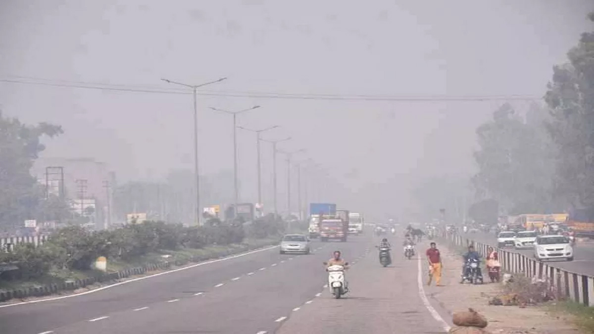
Temperatures have dropped in Punjab and Chandigarh in 24 hours. The average maximum temperature has dropped by 1.8 degrees. However, it has been 3.1 degrees above normal. At the same time, the Western Disturbance is now located in Jammu and Kashmir and its surrounding areas in the form of cyclonic circulation through northern Pakistan and its surrounding areas.
According to the Meteorological Department, the weather of the state is expected to remain dry today and tomorrow. At the same time, strong winds are expected to blow at a speed of 15 to 25 kilometers per hour. However, there is no forecast of fog and rain till the 18th. Bathinda has recorded the highest temperature of 25.6 degrees.
95 percent less rainfall recorded in February
In Punjab, in the month of February, on normal days from February 1 to February 12, 10.2 mm of rain falls. But this time there has been 95 percent less rainfall. Only 0.5 mm of rain has been recorded. Out of 23 districts of the state, 12 have not recorded rain at all. However, in the districts where rainfall has been recorded, rainfall has been between 0.1 mm to 0.2 mm, which is very less. Zero mm rainfall has been recorded in Amritsar, Tarn Taran, Jalandhar, SBS Nagar, Fazilka, Muktsar, Faridkot, Bathinda, Barnala, Mansa, Fatehgarh Sahib and Mohali.
There are chances of cold-reducing
This time the wind pattern system is becoming such that it is not supporting the intensity of Western Disturbance. Along with this, the humidity is also decreasing. At the same time, this change in the weather is also being seen due to less snowfall on the mountains. In such a situation, this time the cold is expected to reduce 10 to 12 days earlier.