Last Updated: October 12, 2026
Last Updated: October 12, 2026





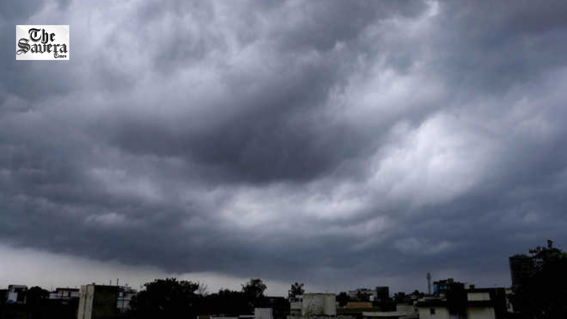
The monsoon is likely to remain active in Chandigarh and Punjab over the next few days. According to the Meteorological Department, intermittent rainfall is expected to continue in several parts of the state until August 5. During this period, moderate to heavy rain accompanied by thunderstorms is forecast for several districts.
The department has also issued warnings regarding lightning strikes and strong winds. However, there are indications that rainfall activity will decrease starting August 6, with only light rain expected in some areas thereafter.
Weather in Chandigarh
Over the past 24 hours, Chandigarh recorded a maximum temperature of 33.8°C, which is 1°C above normal. Meanwhile, the minimum temperature was recorded at 26.0°C, 1°C below normal. Humidity levels in the city ranged from a maximum of 79% to a minimum of 57%.
According to the Meteorological Department, the maximum temperature in Chandigarh is likely to hover between 33°C and 34°C, and the minimum temperature around 23°C to 24°C, over the next five days.
Monsoon Still Weaker Than Normal
Since June 1, Chandigarh has recorded 337.2 mm of rainfall, which is approximately 21.3% below normal. However, the rainfall expected in the coming days is likely to help bridge this deficit. Meanwhile, Punjab saw a marginal rise of 0.1°C in the average maximum temperature over the last 24 hours. The highest temperature in the state was recorded in Bathinda at 37.1°C, while the lowest minimum temperature was recorded in Ludhiana at 24°C.
Advisory for the Public
The Meteorological Department has urged people to avoid venturing into open areas during heavy rain, strong winds, and thunderstorms. The department has warned of potential waterlogging in low-lying areas. Consequently, residents are advised to travel only when necessary and to adhere to the guidelines issued by the Meteorological Department.
Chief Minister Bhagwant Singh Mann said Punjab has, for the first time, got a government focused on delivering...

The Aam Aadmi Party (AAP) Punjab Media In-charge Baltej Singh Pannu has demanded Union Home Minister Amit Shah’s...
The Supreme Court on Monday refused to stay the CBI probe into allegations of corruption leveled against Punjab...
Two unidentified men allegedly opened fire at Rightway Visa Consultants in Ludhiana late Sunday night. Police are examining...

The Punjab and Haryana High Court has sought the state government's response in the pending DA arrears case...
AAP Punjab leaders condemned the Delhi Police action during the October 10 protest and demanded Amit Shah’s resignation....

Aries: The day will be auspicious...