Last Updated: October 20, 2026
Last Updated: October 20, 2026





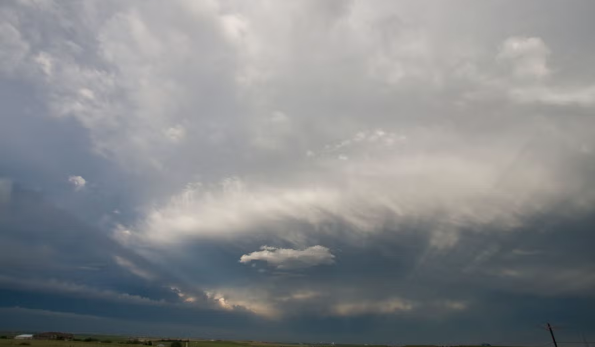
The weather has taken a turn in Punjab and Chandigarh. The Meteorological Department has issued an alert for rain, thunderstorms, and strong winds for today and tomorrow. Wind speeds could reach 40 to 50 kilometers per hour during this period.
According to the Chandigarh Meteorological Centre, the average maximum temperature in the state has risen by 0.2 degrees Celsius over the last 24 hours. Despite this, the temperature remains 2.7 degrees below normal. The highest maximum temperature was recorded in Bathinda at 42.6 degrees. Chandigarh recorded 5.6 mm of rainfall.
Impact in 18 districts today
According to the Meteorological Department, thunderstorms, lightning, and strong winds (40–50 km/h) are likely in Pathankot, Gurdaspur, Amritsar, Tarn Taran, Hoshiarpur, Nawanshahr, Kapurthala, Jalandhar, Moga, Bathinda, Ludhiana, Barnala, Mansa, Sangrur, Fatehgarh Sahib, Rupnagar, Patiala, and Mohali. Light to moderate rain is also possible in these districts.
Rain is expected at several locations in Ludhiana, Sangrur, Fatehgarh Sahib, and Patiala. No alert has been issued for Ferozepur, Fazilka, Faridkot, and Sri Muktsar Sahib.
Weather change due to Western Disturbance
According to the Meteorological Department, the weather in Punjab, Haryana, and Chandigarh has changed due to the influence of an active Western Disturbance over Pakistan. Consequently, there is a likelihood of rain, strong winds, thunderstorms, and lightning in several areas. Another weather system that had formed over Western Uttar Pradesh has now weakened. The department stated that the monsoon has not yet reached Punjab, and the current rainfall is attributed to the Western Disturbance.
Likelihood of rain for 3 days
Surendra Pal Singh, Director of the Chandigarh Meteorological Centre, stated that rain is also likely at some places on June 6, 7, and 10. There will be no significant change in temperature over the next three days; however, the heat may increase thereafter.
The Punjab Vigilance Bureau (VB) during its ongoing drive against corruption in the state, has apprehended Inspector Gulshan...

Chief Minister Bhagwant Mann may soon hold a press conference or release a video message amid Union Home...

Punjab Cabinet Minister Aman Arora welcomed Union Home Minister Amit Shah's visit to Punjab on Tuesday. However, he...
Gurdaspur: Union Home Minister Amit Shah on Tuesday met with the families of those who spoke out against...

Mansa: A shocking incident was reported from Mansa in Punjab on Tuesday morning, where a Punjab Police head constable...

Chandigarh: Ahead of the day-long visit of Union Home Minister Amit Shah in the state, the AAP government...

Aries: The day will be auspicious...