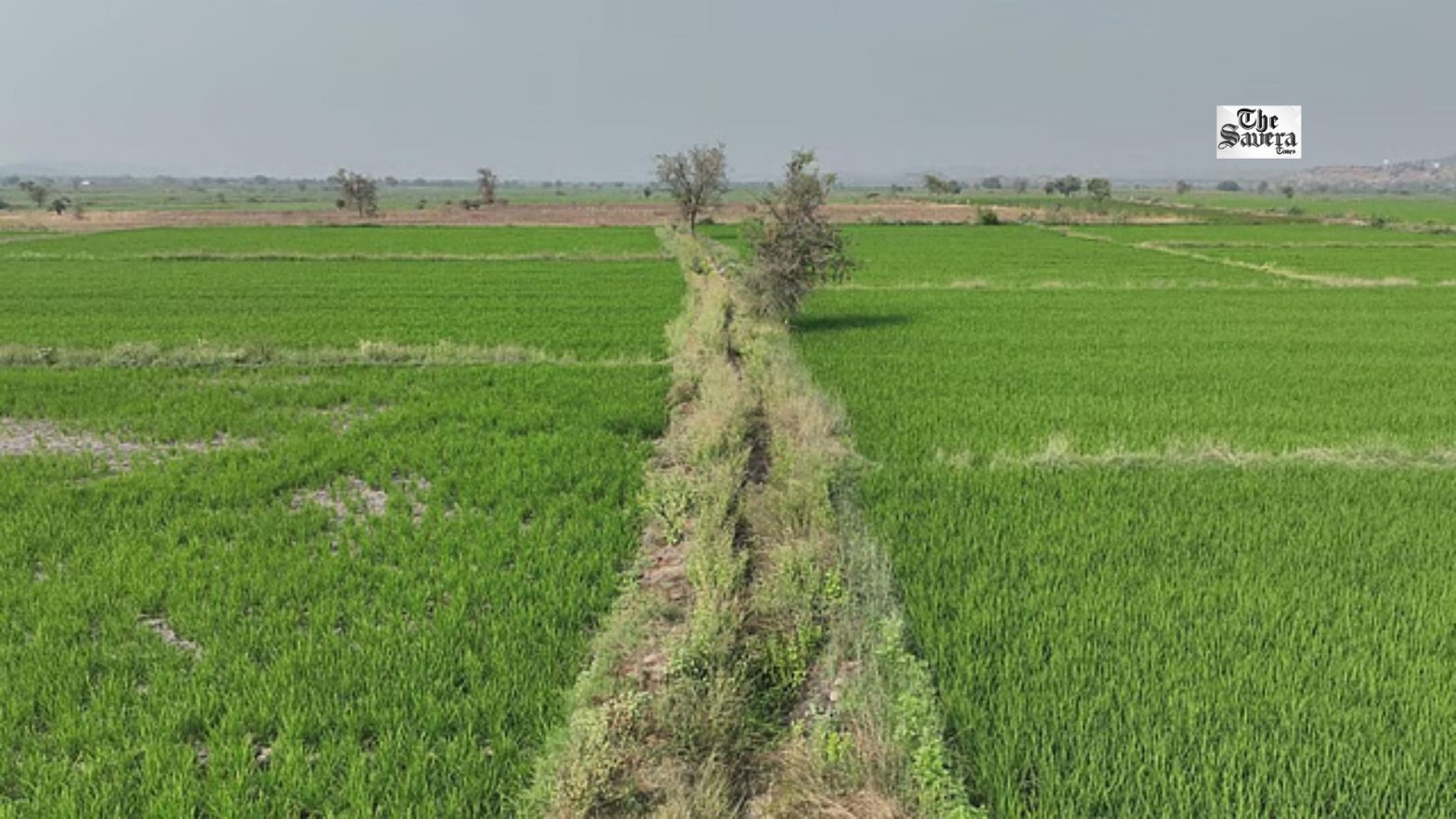
GIS and drones can help map the critical last mile of canal irrigation, but farmers must be involved in data-driven decisions for these tools to be effective Poorly maintained field channels often prevent canal water from reaching farmers. GIS, drones and AI can help identify blockages, damage and irrigation gaps. Making geospatial data accessible to.