Last Updated: October 20, 2026
Last Updated: October 20, 2026





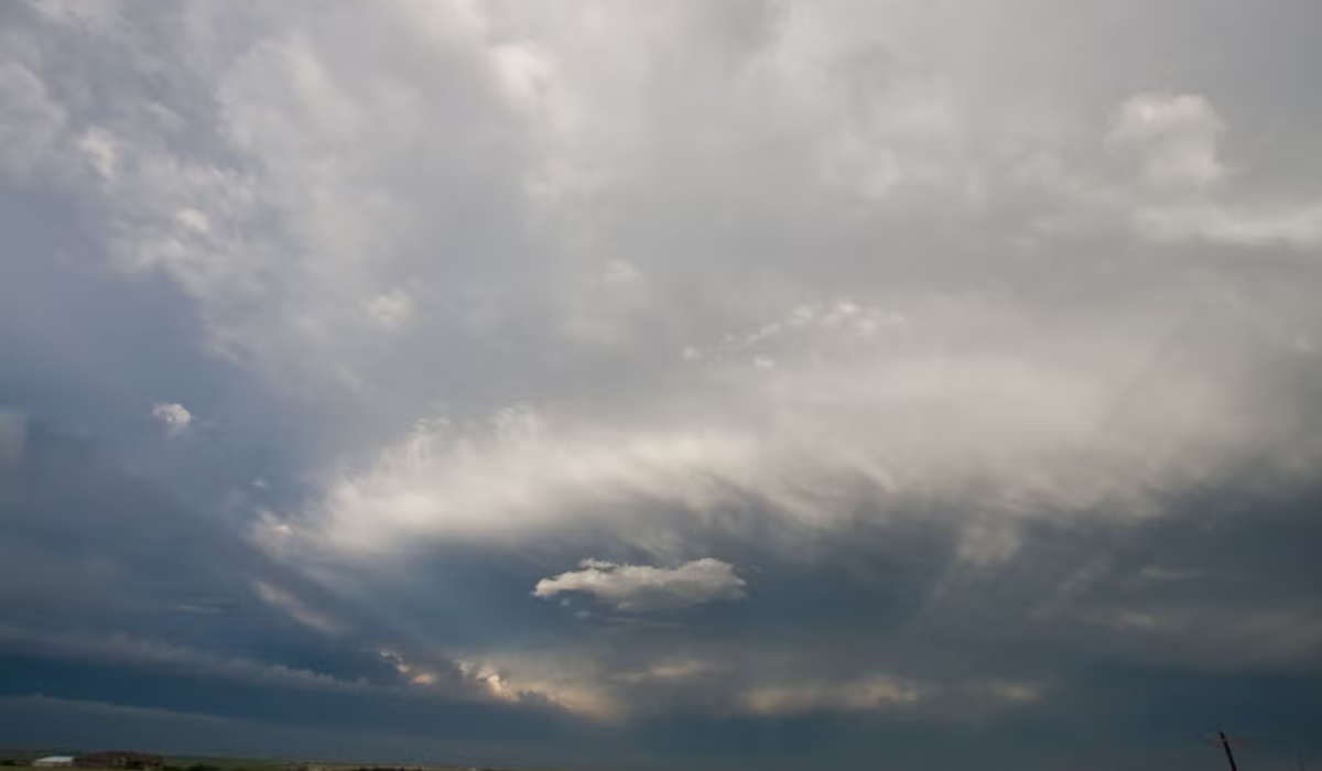
A new weak Western Disturbance is likely to bring slight changes in weather conditions across parts of southern Haryana on Monday. According to the India Meteorological Department (IMD), partly cloudy skies are expected in some districts, with light drizzle or isolated rainfall possible at one or two places.
However, the rest of the state is expected to witness dry weather conditions.
Maximum Temperatures Cross 25°C Across Haryana
Weather fluctuations have continued across the state in recent days. All districts in Haryana have recorded maximum temperatures above 25°C.
On Sunday, the highest temperature was recorded in Nuh (Mewat), where the mercury touched 29.8°C. Daytime temperatures across the state are currently running above normal levels.
Winter Nearly Over, Mild Chill Only in Mornings and Evenings
With rising daytime temperatures, winter conditions are gradually fading and early signs of summer are becoming noticeable. However, intermittent Western Disturbances are maintaining a slight chill during morning and evening hours.
Minimum temperatures across the state remain near normal, even as daytime heat increases.
Temperature Fluctuations Expected from February 24
Weather experts predict mild temperature fluctuations in Haryana, NCR, and the Delhi region from February 24 onwards. However, no significant drop in temperatures is expected.
Currently, both day and night temperatures are running above normal and similar conditions are likely to persist in the coming days.
Sharp Rise Likely Towards End of February
Experts believe that temperatures may rise sharply during the last days of February and early March. The primary reason cited is the absence of any strong Western Disturbance system.
If this pattern continues, residents may begin experiencing early summer-like conditions. Urban areas, in particular, could feel the impact more intensely due to heat retention.
Meteorologists note that both day and night temperatures are already showing an upward trend in most parts of the state, and a further spike is possible in the coming week.
Haryana Hurricanes and Ayodhya Garjan have qualified for the Volleyball Champions League semi-finals after winning their Super 6...

A Srinagar-bound bus with a Jammu and Kashmir registration number was attacked with stones outside the Divine Star...

New Delhi: Four accused have been named in a supplementary chargesheet filed before a National Investigation Agency (NIA)...
Chandigarh: Haryana Leader of the Opposition (LoP) Bhupinder Hooda on Saturday raised concerns over the state’s financial position,...
Worried about poor test marks, a Class 9 student from Bahadurgarh travelled to Vrindavan without telling his family....
North Western Railway has cancelled 26 trips each of the Ajmer-Amritsar and Amritsar-Ajmer bi-weekly trains on selected dates...
Aries: The day will be auspicious...