Last Updated: October 20, 2026
Last Updated: October 20, 2026





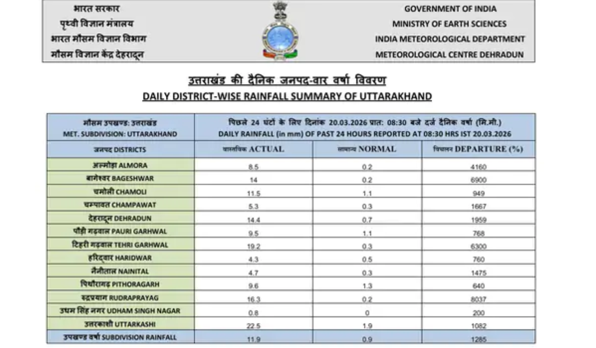
Dehradun: The weather in Uttarakhand has changed rapidly in the last 24 hours. According to the Meteorological Center in Dehradun, the effects of the western disturbance active in the northwest zone are now clearly visible in the state. On March 20, most districts recorded light to moderate rainfall, while some areas experienced more active weather.
More than normal rainfall in many districts
According to Meteorological Department data, many districts recorded several times more rainfall than normal in the last 24 hours. Uttarkashi recorded 22.5 mm of rain, Tehri 19.2 mm, Rudraprayag 16.3 mm, Dehradun 14.4 mm, and Bageshwar 14 mm. In many places, the rainfall was up to 1000% above normal, indicating the intensity of the Western Disturbance.
The impact will continue, with the risk of snowfall and strong winds
According to the Meteorological Department, the disturbance may weaken somewhat in the next 24 hours, but light rain may continue in districts like Uttarkashi, Pithoragarh, Chamoli, and Rudraprayag. Snowfall is likely in areas above 3,000 meters, which will increase the cold.
There is also a risk of strong winds at speeds of 50 to 60 km per hour, lightning, and hailstorms. The weather will remain the same on March 21st, with the weather expected to become active again from March 23rd, with increased rainfall and snowfall expected.
The Meteorological Department has advised people to remain vigilant, seek updates before travelling to hilly areas and take necessary precautions during bad weather.
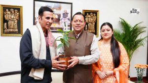
Akshay Kumar met Uttarakhand Chief Minister Pushkar Singh Dhami in Dehradun to discuss film production opportunities, the state’s...
The Roshnabad District Jail superintendent in Haridwar received WhatsApp death threats allegedly invoking the Lawrence Group, prompting a...

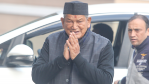
New Delhi: Congress leader and former Uttarakhand Chief Minister Harish Rawat on Saturday denied reports that he had...
Two people died and a woman was rescued after an SUV was swept away by a strong water...

Congress has appointed Sandeep Gupta and Akshit Singh as National Coordinators for its Social Media and Digital Platforms...

Pauri Garhwal: More than 100 students of a private school reached the Divisional Forest Officer (DFO) office in...

Aries: The day will be auspicious...